
Garden City Neighbor Record Layers
Public records describe several kinds of Garden City neighbors. An adjacent parcel owner is not necessarily an occupant. A shared subdivision or voting precinct is a civic link, not proof of living next door. Historical directories show dated listings, not current households. Choose the layer that matches the question and label the relationship it proves.
| Source | What It Shows About a Block | Access |
|---|---|---|
| Finney GIS parcel layer | Boundaries, owner, mailing, situs, legal description, lot, and value | Free current viewer; no ZIP filter |
| Treasurer tax form | Street, subdivision, block, lot, taxpayer, and CAMA criteria | Public form; no ZIP field |
| Planning, zoning, and plats | Street layout, project address, use, and subdivision context | City pages, office, or KORA request |
| Voting Hub | Ward, precinct, and polling geography | Public map; no resident names |
| Directories and Sanborn maps | Dated occupants, firms, footprints, lots, and old streets | Library, museum, KHS, and catalog leads |
The parcel layer is the cleanest first step because it defines adjacency. A mailing address may point elsewhere, and no public homestead flag was confirmed. Do not call an owner an occupant without another dated source. For the full named road, use the Garden City by-street directory.
Map a Garden City Block
The Finney County Parcel Information Viewer searches Owner Name, Quick Reference ID, and Parcel ID. Its popup can show owner and mailing lines, situs, legal description, acres, values, neighborhood code, subdivision and lot, section-township-range, and taxing unit. It is current reference data, not a legal survey.
- Locate the starting address and save its parcel ID, situs, and legal description.
- Click each polygon sharing a boundary with it. Record the parcel ID before any name.
- Keep owner, mailing address, situs, and subdivision fields in separate columns.
- Check the Treasurer form by street, block, lot, or CAMA when a map label needs support.
- Call the result an adjacent owner unless another dated record supports occupancy.
The viewer accepts hyphenated Parcel ID and compact PID formats, and results page at 50. Preserve the update date because the appraiser and tax systems may refresh on different days.
Define Garden City Neighbors
On a map, a neighbor should mean a stated spatial link: an adjoining parcel, a building on the same block, a lot in the same subdivision, or an address in the same ward. Those groups overlap, but they are not interchangeable.
- Parcel
- A mapped tract used for assessment and land records.
- Situs address
- The physical location, which may differ from the owner mailing address.
- Legal description
- Lot, block, subdivision, or survey text identifying the land.
- Adjacent
- Sharing a boundary on the parcel layer, not just nearby.
This wording prevents a map result from becoming a false household claim. The map establishes land and ownership. Another source may add a dated occupant, but it still captures only one point in time.
Garden City Block Address Fields
Owner address, owner ZIP, and property address answer different questions. The first is where an assessment notice goes. The property address is where the parcel lies. Subdivision, block, and lot tie nearby parcels to a plat, while section, township, and range cover survey geography.
Finney County’s Treasurer search adds street, subdivision, block, lot, and CAMA segments. It distinguishes current owner from taxpayer and can filter tax status, but has no ZIP field. Never treat a taxpayer name as proof of residence. If the postal last line looks wrong, confirm it through USPS rather than rewriting the parcel record.
Note: Garden City, Holcomb, Pierceville, postal city, city limits, and Finney County can describe different geographic layers.
Garden City Civic Geography
The Finney County Voting Hub adds ward, precinct, and polling geography from an address. It is not a list of neighbors. VoterView searches one person by first name, last name, and birth date. Kansas allows supervised inspection and copies of certain registration books subject to redaction, cost, and a commercial-use ban. Use the map for block geography instead of compiling a household roll.
Zoning and final plats explain why lots on one block may have different uses or street access. The Garden City Planning and Zoning office publishes zoning, subdivision, plat, and application routes. Building permits have another custodian. Ask for a named address, permit, plat, or date span if a needed file is not online.
Garden City Neighborhood Contacts
No official Garden City HOA or neighborhood-association member roster was found. City Neighborhood & Development Services is the confirmed umbrella for livability, planning, building, code, and development, while advisory-board records provide a separate civic route.
| Public route | Confirmed role | Directory limit |
|---|---|---|
| Neighborhood & Development Services | Planning, code, and neighborhood programs | No association roster found |
| City Advisory Boards | Boards and public appointments | Not a household directory |
| Finney County Voting Hub | Ward and precinct geography | No resident names |
For a block concern, contact the custodian that owns the subject. Planning handles plats and zoning. Building staff handle permits. County GIS handles parcel geography. This yields a record-based answer without inventing an association.
Historic Garden City Neighbors
Criss-cross directories arrange entries by street and number. Local reverse-directory years were not confirmed, but catalogs, FamilySearch, the museum, and KHS offer leads. Sanborn evidence identifies Garden City maps for 1899, 1911, 1929, and 1950 revised. They show footprints and uses, not every occupant.
Pair one map year with a close directory edition and the same legal description in deed or plat files. Newspapers and museum photographs can explain a shop, rebuilt home, or landmark. Silk Stocking Row is a useful local search term, though no official house-by-house roster was found. Keep each result tied to its date.
Compare Garden City Neighbor Sources
Official rolls are narrow, but their custodian and date are visible. Commercial neighbor tools may merge stale names, phones, and addresses without showing their match logic. Treat the category only as an unverified lead.
| Method | Strength | Limit |
|---|---|---|
| Parcel and tax records | Dated parcel, owner, situs, and legal fields | Ownership is not occupancy |
| Planning and voting maps | Official land-use and civic geography | No households |
| Directories and old maps | Dated block and occupant clues | Incomplete runs |
| Commercial tools | Fast compiled leads | Unknown freshness and logic |
Request Garden City Block Records
When a permit, code, police, or planning file is not posted, request an existing record from its custodian under KORA. The Garden City Police records page explains requests, exceptions, fees, and its three-business-day response policy. City and police request routes are separate.
The official request instructions appear in this Garden City neighbors capture.
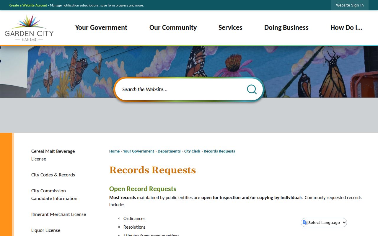
The screen reinforces the need to identify a record, address, and date range. KORA does not require creation of a list of everyone on a block, and statutory exceptions remain.
The county’s July 2026 land-record transition notice documents changing access systems.
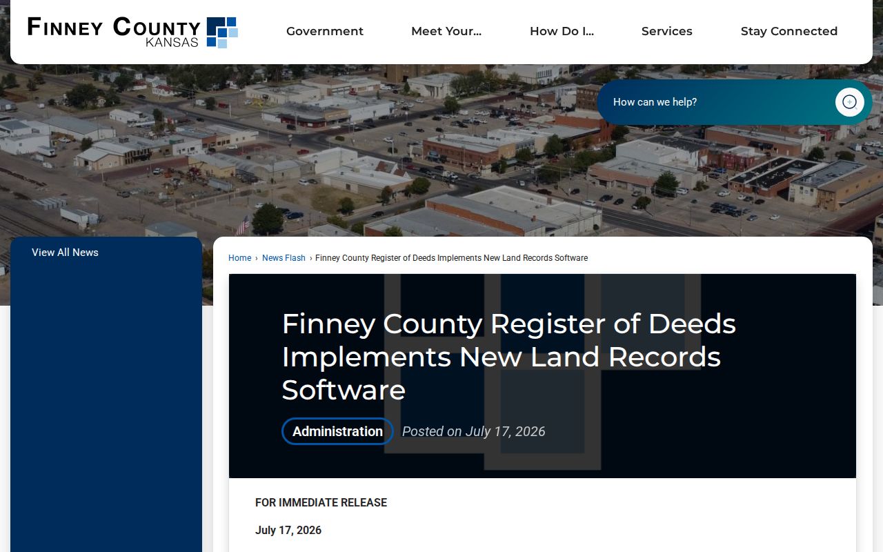
Changing deed tools do not alter parcel adjacency, but they can affect how a recorded owner or plat is verified.
Avoid False Garden City Matches
Custody and supervision databases are not neighbor directories. Kansas DOC’s KASPER is a statewide supervised-population repository with its own identity fields, daily-update warning, and incomplete-history notice. An address or county filter there cannot establish who lives on a Garden City block.
The KASPER disclaimer and search surface show those limits.
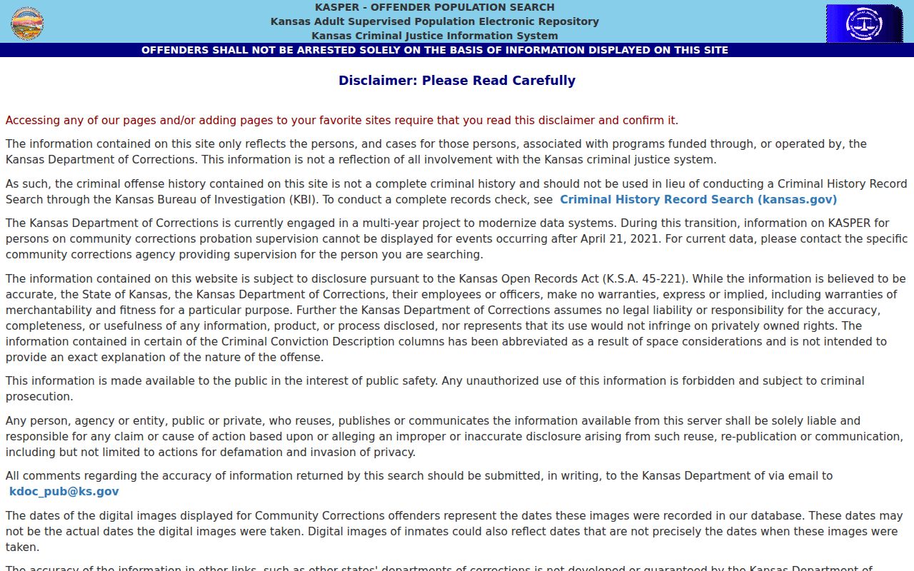
Use the parcel layer for adjacency. If a separate public-safety question calls for an official state record, verify the result in its own context and do not merge it into a neighbor roster.
Protect Garden City Neighbors
Parcel, tax, and map records do not expose a full household. Utility and delivery data is not a public neighbor list. Kansas Safe at Home lets eligible survivors use a substitute address and mail forwarding with participating agencies. A missing or different address can reflect lawful protection, normal mailing practice, or an off-site owner.
Minimize live personal data. Keep only fields needed for the block question, include the source date, and verify with the custodian. Do not infer private relationships from a shared address.
Lawful use. Garden City neighbor records support civic research, history, reconnection, and personal safety. Never use them to watch, threaten, harass, or harm another person.